 www.geodatenkatalog.de (S1L)
Keyword
The Federal Maritime and Hydrographic Agency
2702 record(s)
Provided by
Type of resources
Available actions
Topics
Keywords
Contact for the resource
Update frequencies
Service types
-

The map service "Magnetic Variation" offered for the information system "Geomagnetic Information" shows position-related magnetic variation data with the name of the nautical chart for which the respective magnetic variation value was calculated. The magnetic variation information is available for the current year and additionally for the following year and based on the World Magnetic Model (WMM) valid at the time of display. In addition, areas of uncertain declination mapped for the German coastal area, i.e. areas where the declination of the earth's magnetic field deviates significantly from its normal value.
-
Description: Spatial distribution of selected demersal fish species in the German Bight. Data source: Data from environmental impact assessments (EIA) under the permit procedures of the Federal Maritime and Hydrographic Agency (BSH) in the North Sea EEZ and research data of the Alfred Wegener Institute (AWI), Helmholtz Centre for Polar and Marine Research; time period: 2000 to 2014, mainly spring and autumn data (EIA data), but also summer and winder data (AWI data) Sampling standards: Data of EIAs follow the standard investigation concept StUK 1-3 (BSH 2007), AWI data mainly collected in accordance with the ICES sampling standard (Rumohr 1999). Sampling gears: EIA-data with 7-8 m (partly 6 m) beam trawl (haul: 15 min), AWI-data with a 2-3 m beam trawl (haul: 5-15 min); trawling speed 3-4 kn, codend mesh size 10 mm Sampling: 1 haul per station and sampling date, data were recorded on board or subsamples were stored frozen for further analysis, analysis of abundance and biomass (kg wet weight) per species Data analysis: science information system of demersal fish data, examination of quality and plausibility, data harmonisation, product computation by AWI Product description: Grid: 10x10 km²; available selectable parameter: number of stations, minimum, maximum, mean, median and standard deviation of density (km-²) per species; classification method: natural jenks (Jenks Caspall algorithm); Note: The products contain a different classification of species density! Note: Please regard different value ranges! Note: Data refer exclusively to demersal fish species spectrum! Cited literature Rumohr, H. (1999). "Soft bottom macrofauna: Collection, treatment, and quality assurance of samples." ICES Techniques in Environmental Sciences, No. 27: 1-19. BSH (2007): Standard Investigation of the Impacts of Offshore Wind Turbines on the Marine Environment (StUK 3), Hamburg.
-

The map service "Magnetic Variation" offered for the information system "Geomagnetic Information" shows position-related magnetic variation data with the name of the nautical chart for which the respective magnetic variation value was calculated. The magnetic variation information is available for the current year and additionally for the following year and based on the World Magnetic Model (WMM) valid at the time of display. In addition, areas of uncertain declination mapped for the German coastal area, i.e. areas where the declination of the earth's magnetic field deviates significantly from its normal value.
-

The data set contains the tidal current data for certain positions in the German Bight. The information is based on a tidal current simulation using the BSH circulation model BSHcmod V4. For more information, please visit: https://gdi.bsh.de/en/data/Tidal-Current-Positions_Information_Gezeitenstrom_Positionen_DE.pdf
-
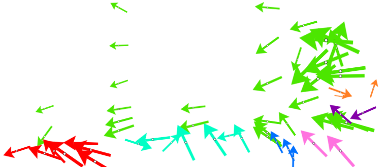
The data set contains the tidal current data for certain positions in the German Bight. The information is based on a tidal current simulation using the BSH circulation model BSHcmod V4. For more information, please visit: https://gdi.bsh.de/en/data/Tidal-Current-Positions_Information_Gezeitenstrom_Positionen_DE.pdf
-

In this service, information on underwater obstacles is presented, which is stored in the "Deutsches Unterwasserhindernisauskunftssystem" (DUWHAS) of the BSH. The data are displayed according to the symbolisation of CONTIS.
-

Data of the Nautical Hydrographic Information System. This includes the floating and fixed navigation marks, as well as further information on navigation in the sea and land area [of the German area of the Exclusive Economic Zone (EEZ)].
-

The data represent the calculated yields of wind farms in the exclusive economic zone (EEZ) in full load hours per wind farm expansion area, assuming an expansion of offshore wind energy defined in different scenarios. The calculations were carried out with the numerical weather model WRF using a parameterization of wind farms according to Fitch. The results refer to the areas in the North Sea and the meteorological year 2006.
-

In this service, information on underwater obstacles is presented, which is stored in the "Deutsches Unterwasserhindernisauskunftssystem" (DUWHAS) of the BSH. The data are displayed according to the symbolisation of CONTIS.
-

Data of the Nautical Hydrographic Information System. This includes the floating and fixed navigation marks, as well as further information on navigation in the sea and land area [of the German area of the Exclusive Economic Zone (EEZ)].